Author: Guide
-
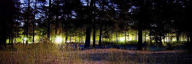
UFO Lands Near Red River?
Three years ago, evidence was presented after nearly a year-long investigation into the possibility of one or more UFOs landing in a Moreno Valley pasture south-east of Red River. Dee Gragg, New Mexico’s assistant director of the MUFON (Mutual UFO Network) concluded there was no doubt the marks burned into the ground were the…
-
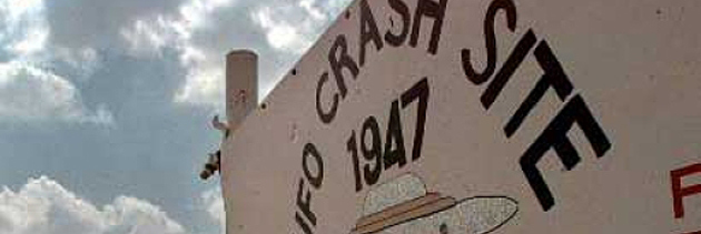
UNM Digs for Roswell UFO
UNM scientists dig for flying saucer – Larry Barker Investigates Updated: Friday, 05 Nov 2010, 12:01 PM MDT Published : Thursday, 04 Nov 2010, 10:51 PM MDT * Reporter: Larry Barker * Producer: Mark Corey CORONA, N.M. (KRQE) – You know the story: Aliens crash their spaceship near Roswell. The government secretly recovers the…
-

Cattle Mutilations in NM
This local news report first aired in May, 2010, about New Mexico’s own cattle mutilations, as well as witness reports and the status of official investigations for ranches near Red River. For more information on this story, visit http://www.krqe.com/dpp/news/on_assignment/old-cattle-mutilation-stumped-feds
-

Is Bigfoot in Red River?
Do you believe in Bigfoot or are you like many who think they are only a figment of someone’s active imagination? If they do exist, could it be that this elusive creature has been hiding from researchers and media all this time up in Red River, New Mexico? Who would have thought so, but many…
-

NM OHV Program Guidelines
Vehicles that are considered to be OHVs & must be registered are: All-terrain vehicles (ATVs) Dirt bikes Off-road vehicles (ORVs, UTVs or Mule type vehicles) Snowmobiles Prohibited Uses It is illegal for any person to use an OHV to: Damage or destroy signs, windmills or other property. Operate any OHV in a way that…
-
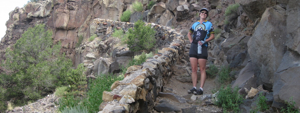
Hike Big Arsenic Trail
Location: Big Arsenic Springs at the Wild Rivers Area. Descent: 653 feet Distance: 2 miles Duration: 3 hours roundtrip Level: Moderate to Strenous. Sights: Big Springs/Oasis, Petroglyphs. Directions: 45 minute drive from Red River to Big Arsenic trailhead. Turn right onto NM Hwy 522 at Questa. Drive approximately 3 miles until you see NM…
-
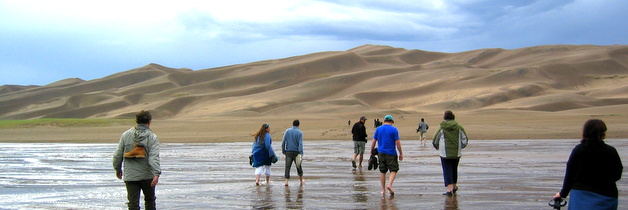
Great Sand Dunes
The Great Sand Dunes of Colorado are the tallest dunes in North America. They are in the middle of a varied landscape ranging from grasslands, to forest, alpine lakes and tundra. As a result, they offer a wide choice of activities including camping, hiking, horseback riding, picnicking, sandboarding and sand sledding, wildlife photography and…
-
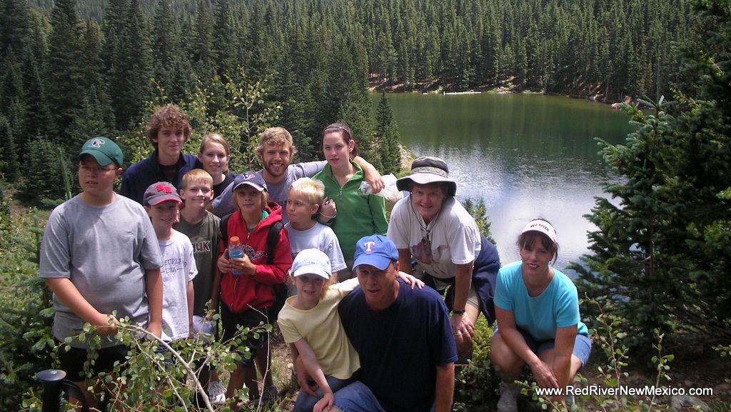
Hike Middlefork Lake Trail
Drive towards the Red River Upper Valley on Hwy 578 until you reach the end of the pavement (about 6.5 miles). Once you reach the end of the pavement, you will notice a brown recreation sign. Follow the arrow to the right. If you cross a bridge on the left, you are going the…
-

Bike Pioneer Creek
When visiting Red River, be sure to enjoy a trip up Pioneer Creek Rd. It’s just around the corner from the Red River Playhouse and runs behind the Red River Ski Area. You can hike it, bike it, horseback it, drive it, and even take your motorcycle/ATV up it. Enjoy miles of the valley’s…
-

Geo-Caching 101
Red River is proud to be part of this “game of high-tech hide and seek”, an exciting outdoor adventure that is sweeping across the planet. What is Geochaching, you ask? It is an outdoor sporting activity in which the participants use a Global Positioning System (GPS) receiver or other navigational techniques to “hide and…